Surface after rain
Runners flag which limestone sections stay firm when the ground is wet and which switchbacks turn slick. That single detail often decides whether a route is worth walking this week or next.
Contributors here are not guides and do not hold credentials we list. They are runners, cyclists and walkers who have crossed the same stone and pine often enough to notice what changes and what holds. Their notes fill in the parts a route line cannot show.
Runners flag which limestone sections stay firm when the ground is wet and which switchbacks turn slick. That single detail often decides whether a route is worth walking this week or next.
Walkers note where tree cover holds from morning into afternoon and where the path opens to full sun. On the wooded climbs this matters more than distance when you are planning a midday start.
Ridges and shoreline stretches catch wind from the open sea, and contributors describe where it slows progress and where the low ground shelters the route. Useful before you commit to an exposed section.
Cyclists read pine tracks and gravel links for gradient and grip, noting where compacted surface runs fast and where loose stone forces a slower line. It helps when you are linking villages on a half-day ride.
Field notes mark where a path meets the water, where a gap in an old wall opens the route, and where a farm track joins a ridge. These are the details that turn a line on a map into a walk you can actually start.
The same path reads differently in winter, with wet stone, low sun and long shadow. Because images are shot on foot across several seasons, you can compare conditions rather than trust a single set.
Every observation is filed under its trail, so you can compare routes side by side. See how the trail entries are organised or read how the gallery supports trip planning.
The gallery is built from ground-level knowledge rather than credentials. Runners, cyclists and walkers who use these paths regularly send in what they notice: how a stone section holds after rain, where pine cover keeps the ground cool, which stretches stay open to wind, and where a path actually meets the water. Each set is filed under its trail so you can line routes up against each other before you commit to one.
Loose limestone, worn slabs, packed earth, gravel links. Contributors describe what is underfoot and how it changes after rain, because that is what decides whether a route works on a given day.
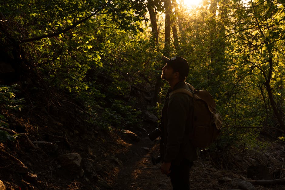
Where pine corridors hold shade through the middle of the day, and where a path runs fully open. Useful if you are timing a walk around heat rather than distance.
Ridge lines and open shore stretches catch wind from the sea. Cyclists riding the interior lanes and runners on the coastal tracks both flag the sections where it slows you down.
Roadside pull-offs, gaps in old walls, farm tracks meeting a ridge, and the unmarked spots where a trail drops to a cove. Practical detail, not a route guide.
We use a small amount of browser storage to remember how you responded to this notice. It keeps the banner from appearing on every visit and helps the site behave consistently. Nothing is shared with advertising networks, and you can change your mind later by clearing your browser data. Read the details in our privacy policy.