

What a Trail Entry Actually Shows

Every route in the gallery is one unit: a short field note on surface, shade, wind and access, followed by images made on foot across different seasons. Below is how that structure looks in practice.

Korčula Outdoors: projects
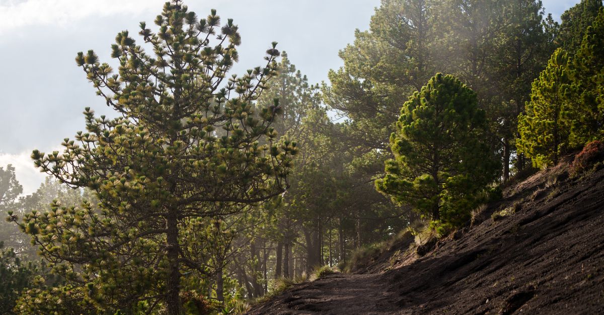
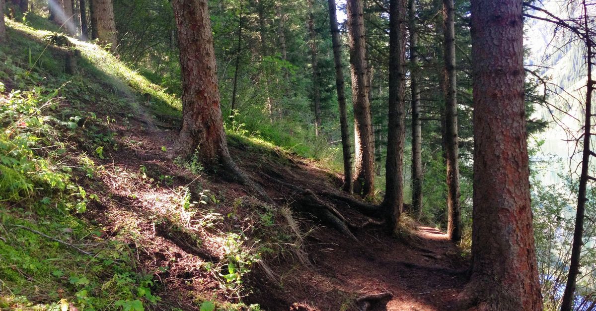
Surface first: packed earth and pine needles, firm when dry, slick on the steeper switchbacks after rain.
Korčula Outdoors: projects
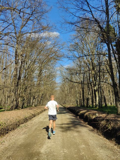
Shade and exposure: almost none on the open stretches, so early or late in the day reads better.
Korčula Outdoors: projects
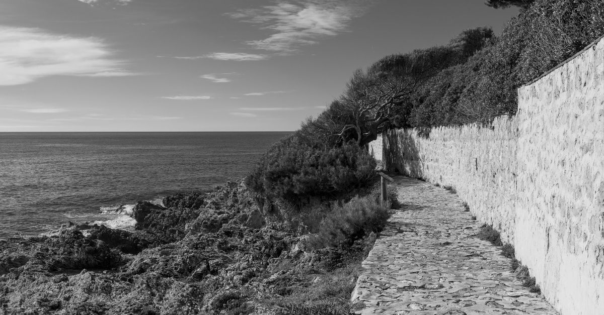
Footing: stable rock, polished where people walk most, so the descent to the water needs attention.
Korčula Outdoors: projects
Access: entry points sit where the paved road ends or where a gap in the wall opens the route.
Korčula Outdoors: projects
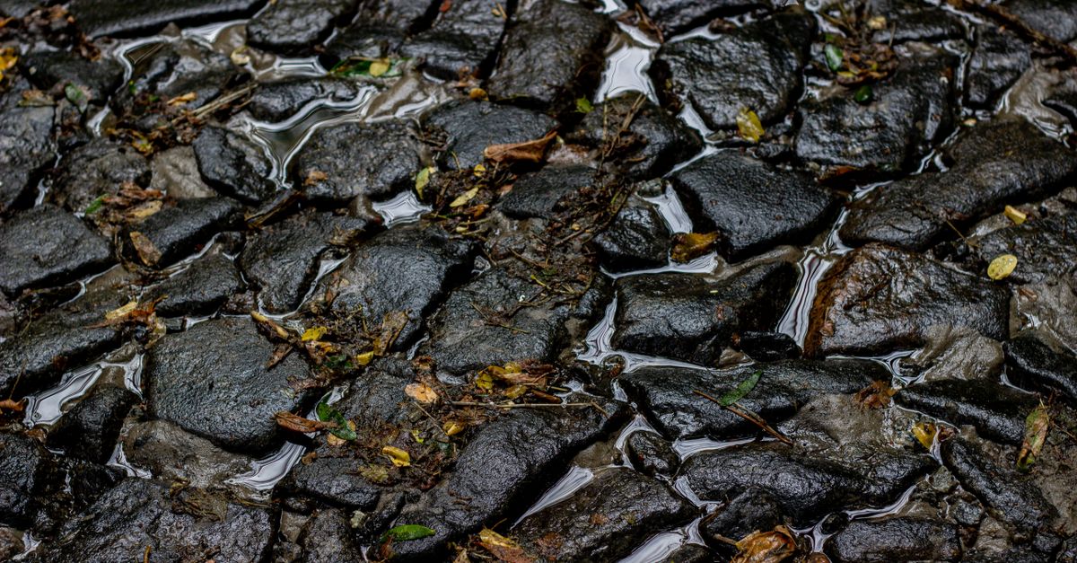
Season: the same path in winter, wet stone and long shadow, shot over several visits rather than one trip.

Captions stay plain on purpose. They name what is underfoot, where the shade runs out, how the wind behaves and where you can join or leave the route, so two entries can be read side by side before you commit to either.

Trail entries in the index

Each entry below is one route, kept whole: a field note on surface, shade, wind and access, then a run of images made on foot across different seasons. Read them side by side when you are weighing two options for the same day.

Pine forest trail with packed earth surface climbing toward a coastal ridge

Pine Track Above Pupnatska Luka

The track begins where the paved road gives way to packed earth and a thin layer of pine needles. It holds firm in dry weather but turns slick after rain, most of all on the steeper switchbacks. Shade runs almost the whole way up, so it stays workable at midday, and the wind only reaches you once the trees thin near the ridge. Access is a straightforward roadside pull-off, and the route links into a wider network of paths further inland.

Open the Pine Track entry
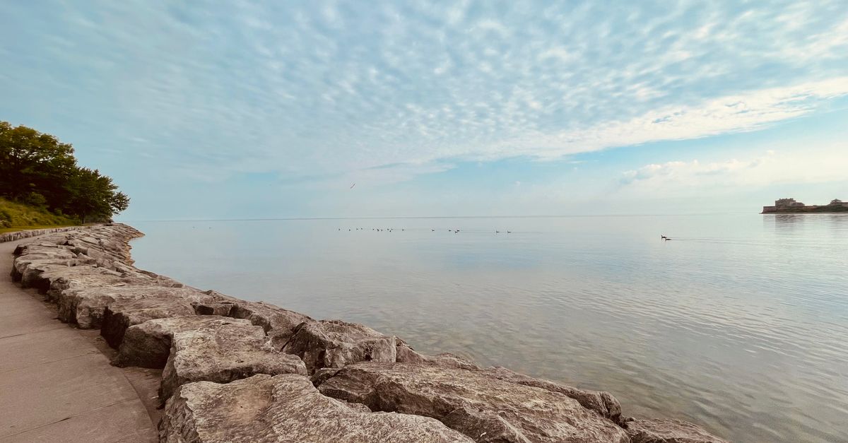

Dry stone wall path following a rocky shoreline above small coves

Stone Path Between Račišće and the Western Coves

This one follows old limestone walls that separate small plots from the sea. The surface is uneven, with loose stones in places and worn slabs where feet pass most often. Shade is almost absent, so early morning or late afternoon beats midday, and the open stretches take wind straight off the water. The path narrows above the coves. Gaps in the wall mark the access points, and it walks equally well in either direction.

Open the Stone Path entry
Rocky shoreline with boulders and rough steps descending to clear water

Shoreline Scramble at Vaja Bay

A short drop from the main trail to the water over boulders and rough rock steps. The rock is mostly stable, but it is polished where people walk most, so footing deserves attention. There is no shade on the descent, and the bay catches wind from the open sea. You enter from the trail above at a clear but unmarked point. It is brief, yet it is the section where a wrong step matters most.

Open the Vaja Bay entry
Open ridge with dry grass and vineyard slopes above the sea

Ridge Line Above the Vineyard Slopes

Open ground up here, mostly dry earth and short grass, with vineyard slopes falling away on one side. Wind is the deciding factor and can be strong enough to slow you down on the exposed sections. There is no shade at all, so cooler hours suit it better. The surface is generally firm, though the edges crumble where the ground drops away. A farm track meets the ridge at a low saddle and gives you the way in.

Open the Ridge Line entry
Quiet gravel lane passing between stone houses and low vegetation

Cycle Track Through the Interior Villages

Several small interior villages sit on this line, linked by quiet lanes and short gravel sections. Gradients are gentle next to the coastal paths, and the surface is mostly compacted gravel or worn asphalt. Shade comes and goes with the tree cover around the settlements, and the low ground keeps wind exposure down. You can join it easily from any village along the way. It suits a half-day ride or a longer walk with stops.

Open the Cycle Track entry
Wet stone path along a quiet shore under low winter light

Winter Light on the Northern Shore Path

In winter this shore path changes character. The stone holds moisture, and the low sun keeps long stretches in shadow. Ground that is firm in summer can stay damp for days, especially where the path runs under trees. Wind exposure is higher, and the coves along the way sit empty. Access stays the same, but shorter daylight makes an early start worth it. The images here come from several visits rather than one season.

Open the Winter Light entry

Send a set, ask about a route, or request a print

If you have walked, run or ridden one of these trails and want your own images added to the index, the contact form is where that starts. The same form handles licensing questions and print requests, so you do not need to guess which route to take. Mention the trail by name and describe what you are sending or what you need.

What to include

  • The trail or route name, so the note lands with the right entry.
  • Whether this is a licensing question, a print request or a new set of images.
  • A short line on surface, shade and access if you are submitting.

Submissions are reviewed before anything is added to the index. You can also read more about the wider project on the solutions page.