Walked on foot, not mapped from a desk
Every entry comes from someone who covered the ground themselves. Hikers, trail runners and cyclists contribute the routes they already know, so the notes reflect real footing rather than a line drawn on a map.
Two trails can look similar on a map and behave nothing alike underfoot. Read the field notes side by side, weigh a shaded pine climb against an open shoreline scramble, and choose before you commit to the drive.
When a route entry raises a question about a specific stretch, or you want to license an image from the index, the contact form is the place to put it.
Next step
Send the trail name, the intended use, or the set of images you have in mind. One message is enough to start.
Open the contact formStill comparing options? Start with the route offerings or read the Pine Track Above Pupnatska Luka entry first.
Before a route goes into the index, it is walked, photographed and written up the same way. The point is not to sell the trail but to describe it honestly enough that you can decide whether it fits your pace, your season and your tolerance for wind and sun.
Every entry comes from someone who covered the ground themselves. Hikers, trail runners and cyclists contribute the routes they already know, so the notes reflect real footing rather than a line drawn on a map.
Surface, shade, wind exposure and access points. A pine track that stays firm in dry weather reads differently from a limestone path with loose stones, and the note says so plainly.
A route is photographed over several visits, not in one afternoon. That is how wet stone in winter and dry ground in summer end up in the same entry, so you can compare conditions instead of guessing.
Captions name what is in the frame and where it sits on the route. No rankings, no ratings, no claims about the best view on the island. If a stretch is exposed or the footing is polished, the note says that too.
If you send a set of images, it is read against the trail it belongs to. Submissions are checked for the route they show and the conditions they record, and the sender is told what happens next through the contact form.
Licensing terms, print requests and new photo sets are handled as distinct requests. Each one is answered on its own terms, and the trail reference in the message keeps the reply tied to the right entry.
There are no scores, no difficulty grades and no promises about conditions on the day you walk. The gallery records what contributors found on the ground and when, and leaves the decision about which route suits you to you.
Route comparison is the whole point here. Two trails can sit a few kilometres apart and still ask completely different things of you: one stays under pine cover, the other runs open above the water. Read the field note first, then look at the images.
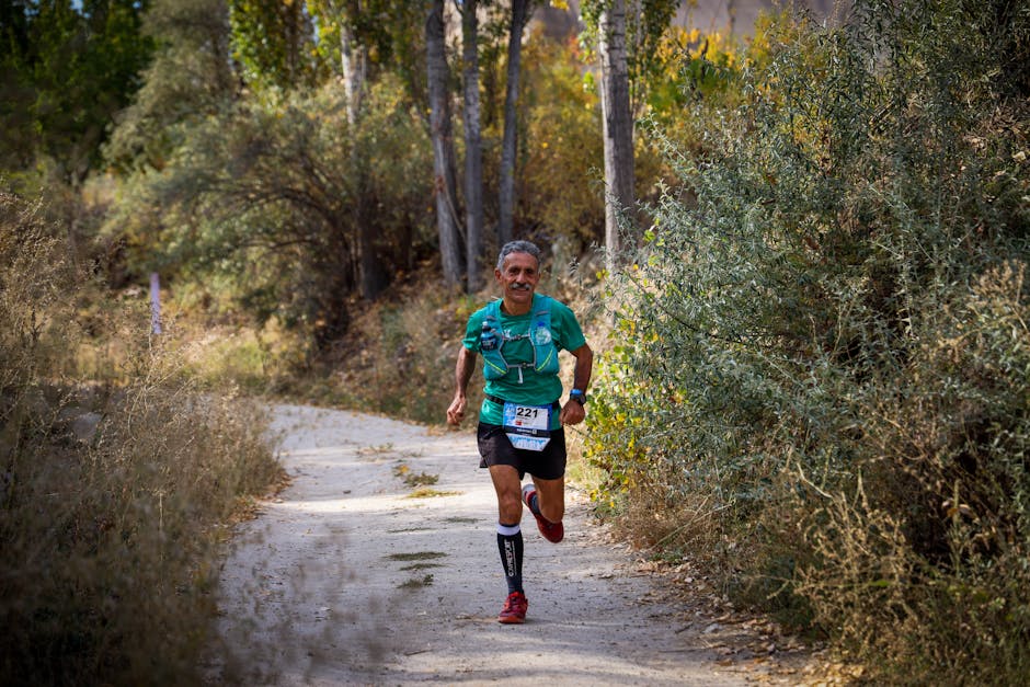
Weigh a shaded pine climb against an open shoreline scramble. The notes tell you how each surface behaves after rain and where the wind hits first, so you can match the route to your own pace.
Trail runners read the same entries for gradient feel and ground stability. Loose limestone, polished rock steps and packed earth each get called out plainly, without dressing it up.
Cyclists look at surface and access before loading a bike. Quiet interior lanes and gravel links are documented alongside the coastal paths, with the entry points noted where they meet the road.
The same path reads differently in winter. Low sun, wet stone and empty coves are part of the record, so you can see how a route changes before you commit to it.
Each entry pairs a short field note with images shot on foot over several seasons. For the full set of documented routes, browse the trail offerings, or start with the pine track above Pupnatska Luka.
We use a small amount of browser storage to remember how you responded to this notice. It keeps the banner from appearing on every visit and helps the site behave consistently. Nothing is shared with advertising networks, and you can change your mind later by clearing your browser data. Read the details in our privacy policy.